Recently, I run a ROMS model for Indonesia regions
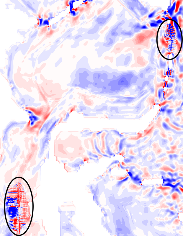
After I modified the water depth in Makassar Strait, Talau Island and Sangihe Island, the vertical velocity (w component) in these places show a confusing pattern (See Figure, within black cycle)
However, there are not such vertical signals in temperature and salinity profiles
Have you guys ever met this kind of problem? Do you know why this issue happened?
What might it be related to? The change with bottom topography?
We're looking forward to your kind reply and advice!
